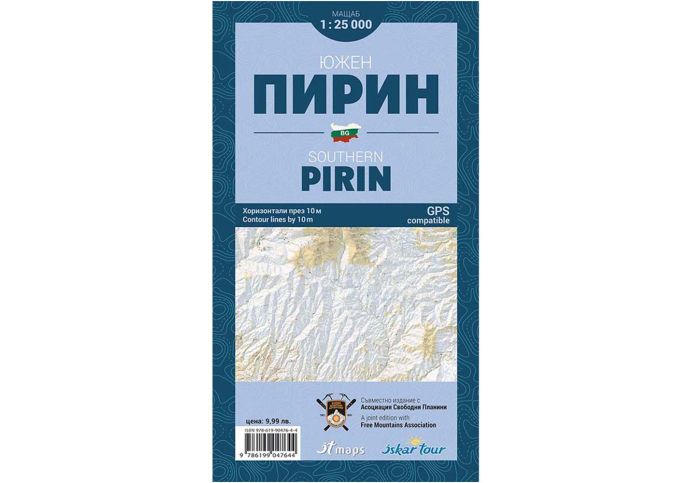
Hiking map South Pirin
Make your walk through the southern parts of the Pirin Mountains unforgettable with the help of a detailed pocket-sized map of Southern Pirin. It includes all the hiking trails, huts, shelters, and information about the area's topography.
View full description
Оrder by Phone: + 359 882 743 923
![]() We ship to all EU countries
Delivery time between 5 - 7 business days
(See shipping rates)
We ship to all EU countries
Delivery time between 5 - 7 business days
(See shipping rates)
![]() 2 year warranty
on this product
(See conditions)
2 year warranty
on this product
(See conditions)
![]() 30 days
Returns accepted
(see conditions)
30 days
Returns accepted
(see conditions)
![]() Pick up from our store
Monday - Saturday: 10:00 am - 7:00 pm
(see our location)
Pick up from our store
Monday - Saturday: 10:00 am - 7:00 pm
(see our location)
Make your walk through the southern parts of the Pirin Mountains unforgettable with the help of a detailed pocket-sized map of Southern Pirin. It includes all the hiking trails, huts, shelters, and information about the area's topography.
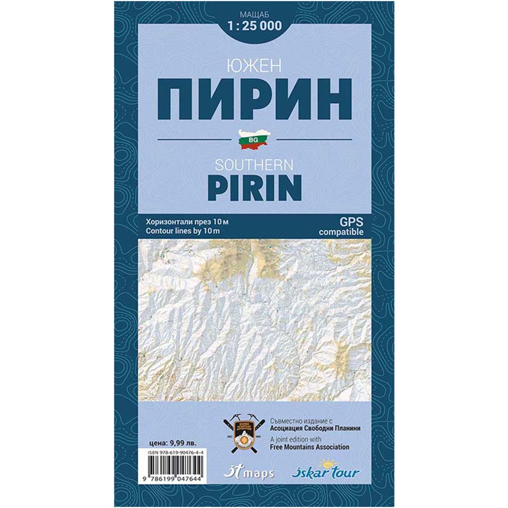
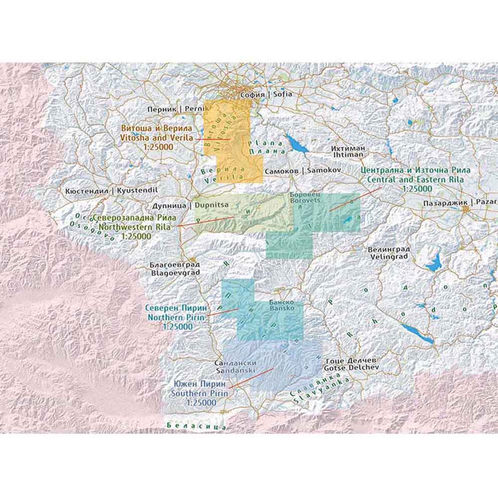
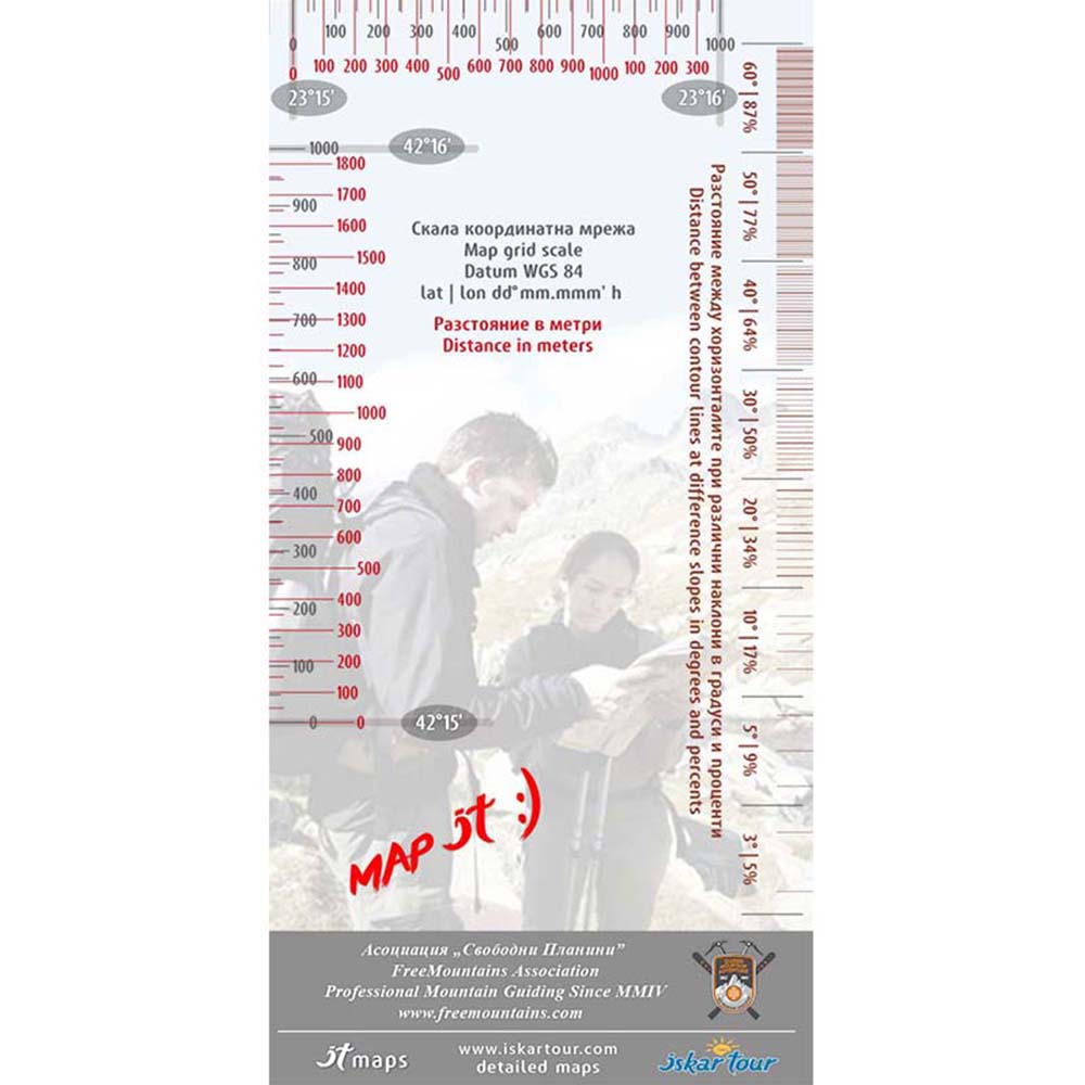
We present to you a pocket-sized map of Southern Pirin at a scale of 1:25,000 with contour lines every 10 meters. This edition of the map includes numerous details on the terrain and topography.
The map of Southern Pirin marks the boundaries of all protected areas within its scope, marked hiking trails, huts, shelters, information centers, ski area facilities, and all other details corresponding to the scale.
The set includes a scale line made of transparent material with a grid scale for measuring distances, graduated from 1 decimal arc minute. It also includes a scale for measuring slope angles. The printed map comes in a 100% transparent PVC pocket, and the new feature is that the pocket opens from the top, short side.
- Printed pocket-sized tourist map for the southern part of the Pirin Mountains
- Detailed information on popular areas
- Includes a 100% transparent PVC pocket
- Comes with a scale line featuring a graduated scale
- GPS compatible
- Publisher: "Free Mountains" Association
- Scale: 1:25,000
- Contour intervals: 10 meters
- Folded dimensions: 12 x 22 cm
- Unfolded dimensions: 100 x 70 cm