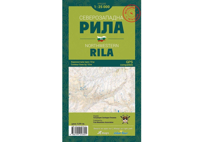
NorthWestern Rila Mountain Bulgaria Trail Map
Discover and hike the most popular trail routes in Northwestern Rila (Bulgaria) with the printed trail map of the association "Free Mountains". With a scale of 1:25000, and horizontals every 10m, this map is suitable for all levels of hikers and includes easy-to-follow routes and lots of detail on the topography of Rila - the highest mountain in Bulgaria.
View full description


Оrder by Phone: + 359 882 743 923
![]() We ship to all EU countries
Delivery time between 5 - 7 business days
(See shipping rates)
We ship to all EU countries
Delivery time between 5 - 7 business days
(See shipping rates)
![]() 2 year warranty
on this product
(See conditions)
2 year warranty
on this product
(See conditions)
![]() 30 days
Returns accepted
(see conditions)
30 days
Returns accepted
(see conditions)
![]() Pick up from our store
Monday - Saturday: 10:00 am - 7:00 pm
(see our location)
Pick up from our store
Monday - Saturday: 10:00 am - 7:00 pm
(see our location)
Discover and hike the most popular trail routes in Northwestern Rila (Bulgaria) with the printed trail map of the association "Free Mountains". With a scale of 1:25000, and horizontals every 10m, this map is suitable for all levels of hikers and includes easy-to-follow routes and lots of detail on the topography of Rila - the highest mountain in Bulgaria.
This is the fifth, printed edition of the Northwestern Rila map with many improved design elements for more comfortable and easy reading and a completely new, highly detailed terrain.
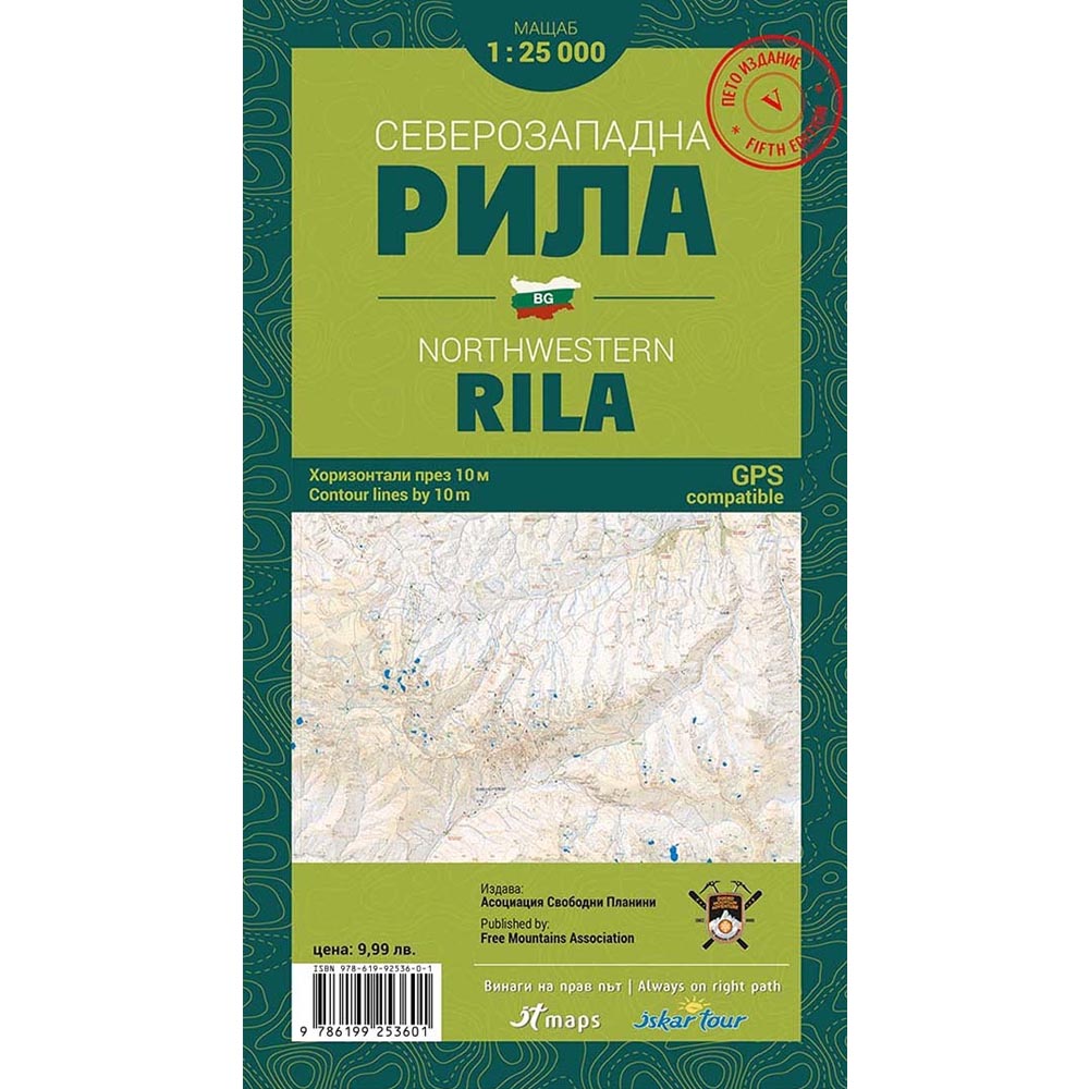
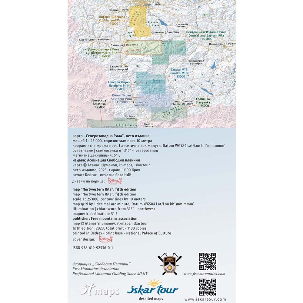
The trail map shows the boundaries of all protected areas falling within the area of the map, marked tourist routes, huts, shelters, information centers, ski area facilities and all details corresponding to the scale.
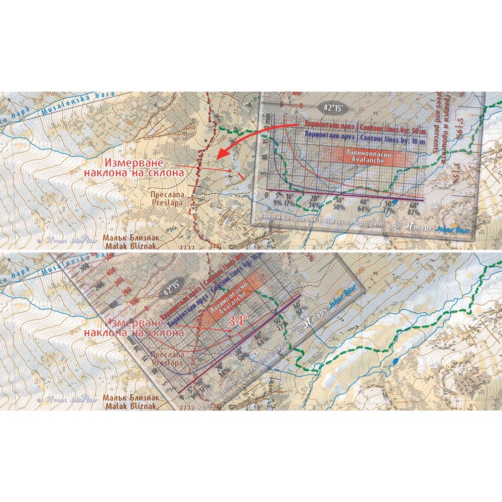
The printed map is placed in a 100% transparent PVC pocket. In this edition a new scale ruler with a graphed scale has been added, for easy distance measurement, a graphed scale of 1 decimal arc minute, for easy measurement of geographical coordinates and a scale with the distance between horizontals, for measuring the inclination of the slope, in degrees and percentages. The new scale line is transparent for ease of use and has another scale to more precisely measure the angle of inclination.
- Printed pocket format trail map for Central and Eastern Rila in Bulgaria
- Detailed information about popular localities, such as the Seven Rila Lakes, Govedartsi, Kostenets, Makedonia Hut, Malyovitsa and more
- 100% clear PVC pocket included
- Scale ruler with graph scale included
- Compatible with GPS
- Latin transcription
- Publisher: Free Mountains Association
- Scale: 1:25000
- Horizontals in 10m.
- Folded size: 12 x 22 cm.
- Open size: 100 x 70 cm.